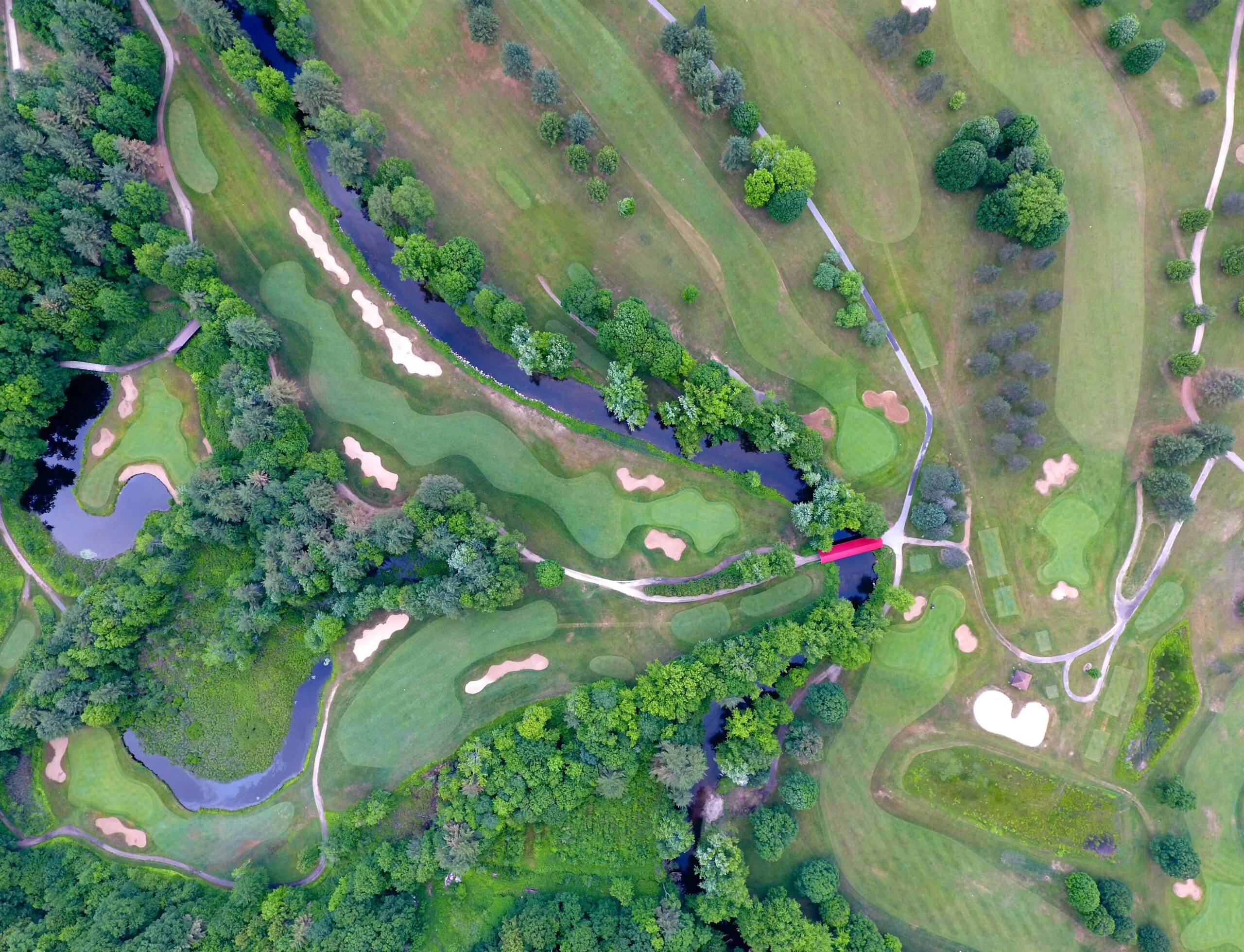
During the time of incidents, data-driven maps that harness GIS technology can act as a true lifesaver. AutoMax Incident Management System is integrated with a geo landmarking feature to track the place of incidents and act effectively.
Geo-landmarking and GIS can significantly impact mitigating, responding, and recovering incidents.
AutoMax GIS technology effectively improves the workflow in all phases of incident management:
- Assessment
- Mitigation
- Planning and Analysis
- Response
- Recovery
Geo-landmarking feature in AutoMax incident management system provides context for understanding incident patterns, identifying risks, and taking action accordingly.
AutoMax geo landmarking feature can help set priorities, determine safety measures, allocate resources as required, and track progress in resolving the incident.
Using the information derived from geo landmarking can be used to make informed decisions for the organizations.
AutoMax incident management system can respond to and resolve incidents using dashboards that provide real-time tracking and situational awareness.
It helps to understand risk, build resilience, and improve incident management using geographical intelligence.
When organizations integrate the AutoMax Incident Management system, GIS and geo landmarking feature makes it easier to monitor changing conditions as they occur, brief your team quickly and make better-informed decisions to resolve incidents quickly.
Now let us move on to see some of the features of the Incident Management System:
AutoMax incident management system provides both web and mobile-enabled solutions. It provides user interface in both English and Arabic languages.
It is possible to change the language during operation and use it in different operating environments.
AutoMax Incident Management System can be accessed via any device connected to the network.
It supports multiple database management systems, including MS SQL and ORACLE.
This solution provides a unified and integrated geographic database, and it supports all kinds of electronic maps.
This solution can be integrated with a unified communication system and can receive various forms of reports via multiple forms of communications and social media.
To sum up
AutoMax Incident Management system empowers organizations to effectively resolve incidents using a geo-tracking system.
 EN
+1 669-231-8743
